Map reader in the making
Turn lines and scales into a landscape.
Before you jump in
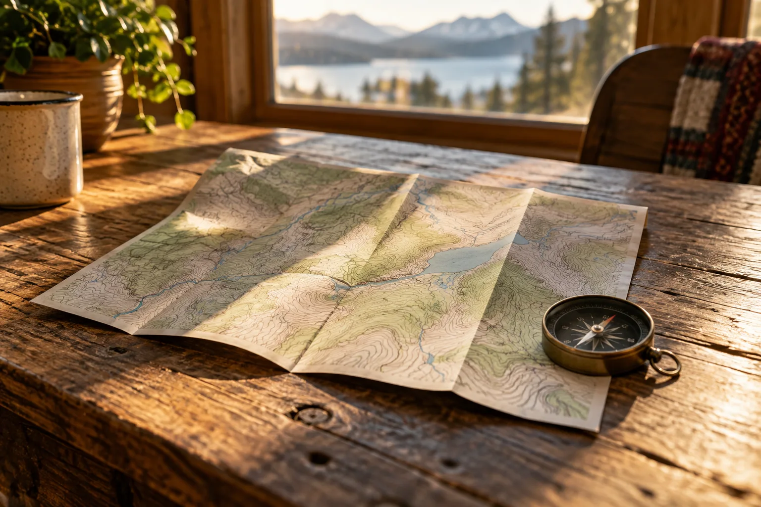
A paper map can make a whole hillside look like a tangle of thin lines. Once those marks start to mean something, the same page becomes a landscape you can reason about: slopes, distances, and places that are higher or lower than their neighbors. This quiz is a small exercise in making that shift, with no need to recognize a particular country or mountain.
The opening questions establish how a topographic map represents the ground. From there, you will work through simple scale and elevation examples before considering why the word north can need a little qualification. All the numbers you need are included in the questions, and the arithmetic is deliberately manageable. Think of each answer as a translation from a flat page into space. By the end, the map's margins should feel as useful as the picture in the middle.
What you’ll explore
- Contours and slope
- Scale and elevation arithmetic
- True north and magnetic north
Use a map's contours, scale, and north references to interpret its information accurately.
On a topographic map, a contour line joins points with the same what?
This is the opening question. Start the round to see the choices and test your answer.