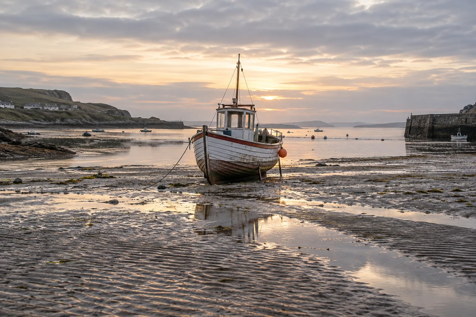
The useful answer is local
A tide chart becomes most interesting when you remember that it describes a particular place. NOAA explains that shoreline shape, bays, and estuaries can alter tidal magnitude. Weather adds another complication: wind can move water toward or away from shore, and atmospheric pressure also affects the observed level. Knowing the astronomical pattern therefore does not remove the need to know what is happening locally.
This is not merely a distinction for people collecting beach photographs. NOAA describes the importance of both water height and current information for navigating shallow ports, planning coastal structures, and restoring habitats. A ship's clearance and the force carrying it sideways are different concerns. The agency also describes real-time measurements used in major ports alongside predictions. Observation remains valuable even when the underlying cycle is well understood.
The satisfying end to the disappearing-shoreline puzzle is that no single dramatic cause is needed. There is a recurring astronomical influence, a particular shape of coast, and the conditions present on the day. The boat in our imagined photographs occupies one place in that larger system. On your next look at a harbor, try noticing a fixed reference point rather than just the water's edge. A mark on a post, the base of a stair, or the exposed part of a wall makes the change readable. The scene becomes richer once you can see the clock that a still photograph leaves out.
All 3 chapters
Sources & further reading
Checked . Explanation and commentary are original; factual claims draw on these primary sources.