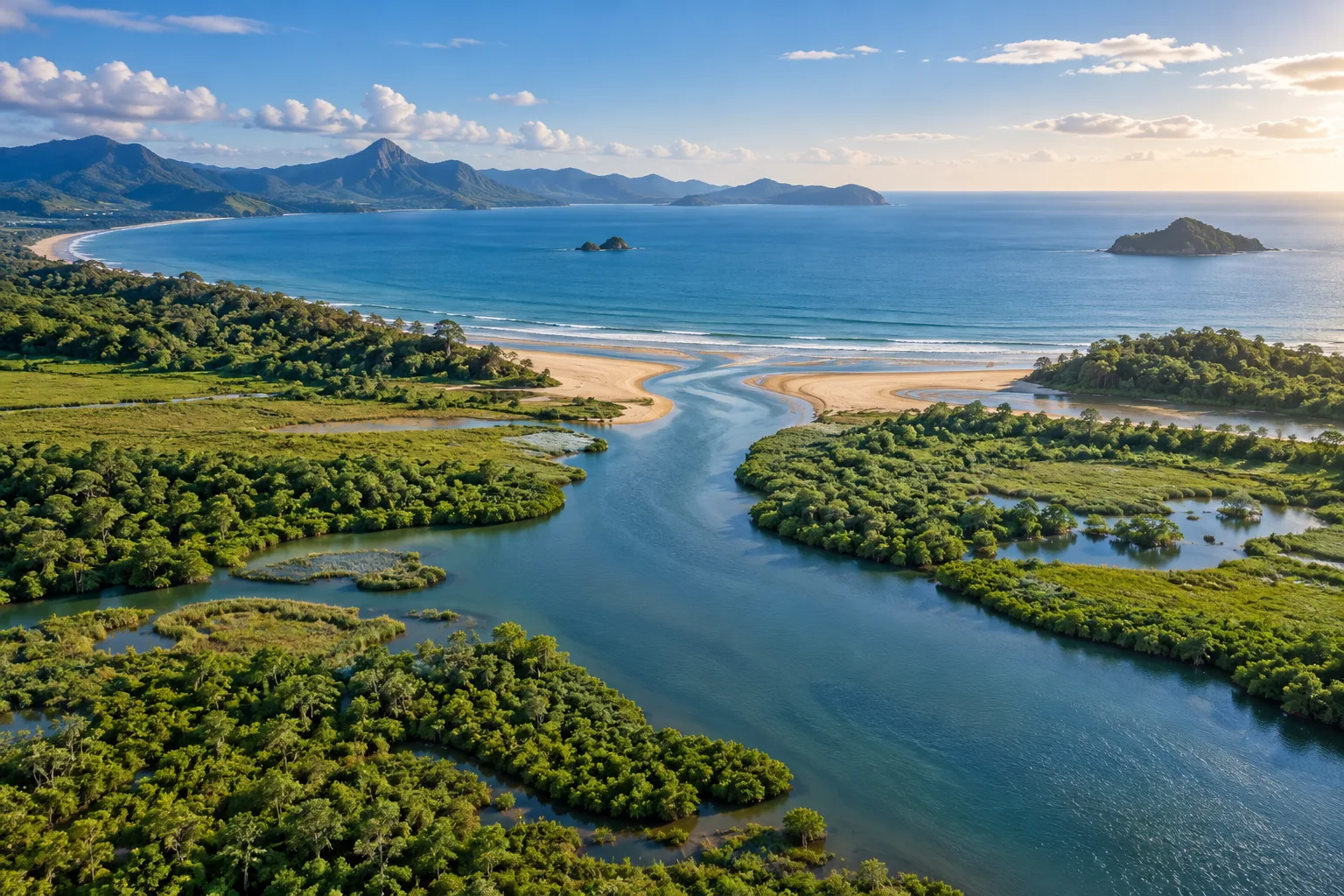
A boundary that will not hold still
On a map, a river reaches the sea at a crisp line. In the water, the meeting can be far less tidy. Many coastal estuaries mix river water with seawater, producing brackish conditions. Tides, river flow, and the shape of the basin affect that mixture. A label on the map remains in place while the conditions underneath it keep changing.
NOAA’s estuary tutorial describes salinity as a variable property, not a single number attached permanently to every estuary. Where and when a measurement is made matters. A sample after heavy rain may tell a different story from one during a dry spell, and a surface measurement may differ from water farther below.
The familiar coastal picture also has an exception worth keeping. NOAA recognizes freshwater estuaries associated with large lake systems such as the Great Lakes. That does not erase the usefulness of the river-meets-sea explanation. It reminds us that a useful introductory description should not be turned into an absolute rule that excludes real places.
For the coastal systems considered here, imagine a meeting zone with moving participants. Freshwater input changes, the tide exchanges water, and local geography shapes the pathways. The question is not simply whether the water is salty. It is how the mixture varies through the place, through the water column, and through time. That changing setting is also where many organisms make their lives.
All 3 chapters
Sources & further reading
Checked . Explanation and commentary are original; factual claims draw on these primary sources.